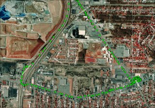
| GPS
track of a car trip overlayed on satellite imagery.
Click image for 800x600.
Click here
for full size.
|
 |
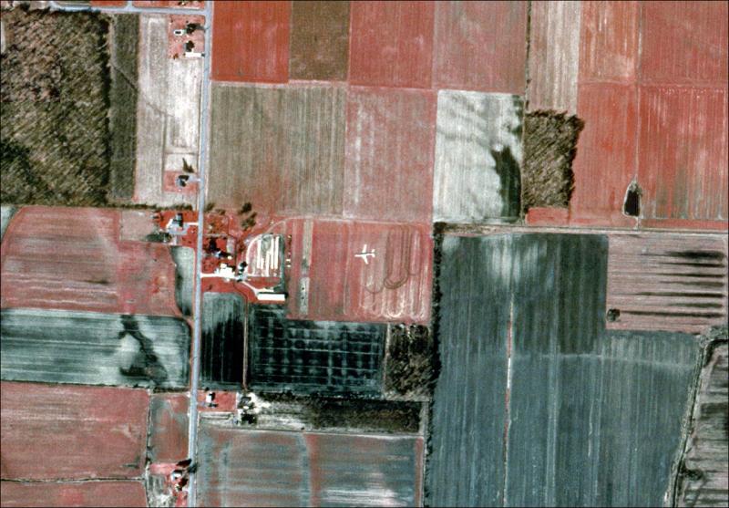
This
one is pretty cool. Its an airliner that
got caught on
the satellite imagery. Keep
in mind that it is most likely flying at
~30k feet but it doesn't seem like it.
Click image for 800x600.
Click here
for full size. |
 |
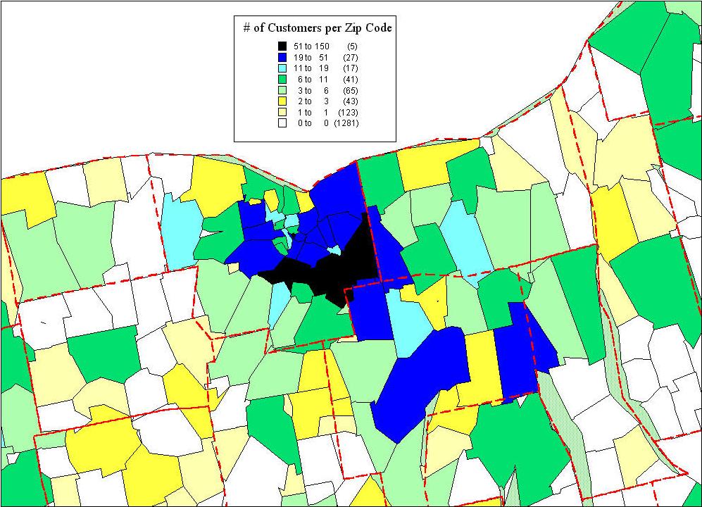
A
map showing number of customers per
zip code for some company.
Click image for full size. |
 |
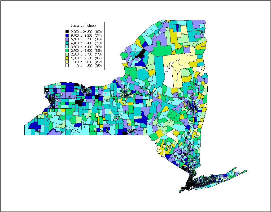
| Population
of New York State
Click image for full size. |
 |